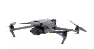
EPI Forensics has an FAA-licensed commercial pilot and the latest small unmanned aerial system (sUAS) platform with geo–referencing technology to capture and record high-quality images and video of ground-based subjects or areas from an above-ground perspective to producephoto-realistic representations, such as Orthomosaic Maps and/or 3D Models, which include accurate-grade measurements of topography and infrastructurefor scene documentation, preservation, and analysis.